Airbus Defence and Space, a division of Airbus Group, has launched One Atlas. The OneAtlas team, with utmost excitement, announced that three open-source artificial intelligence datasets have been published on the Kaggle platform.
“With One Atlas, we propose a dramatic transformation to our clients in terms of how they access our data. We handle everything: updating, selecting, processing, and hosting – all to make our customers’ lives easier, cheaper, and faster,” said Bernhard Brenner, Head of Airbus Defence and Space’s Intelligence Business Cluster.
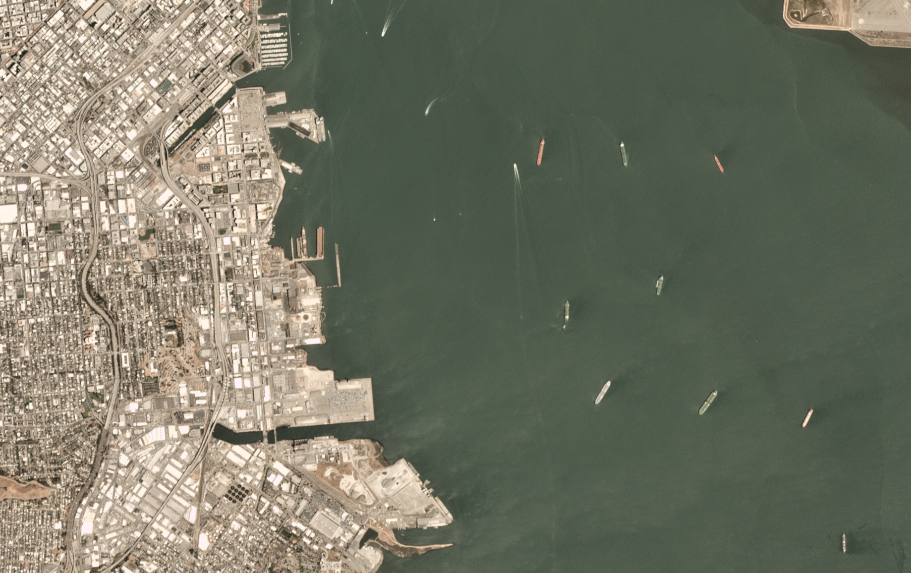
Images from the SPOT and Pleiades satellites, which are part of the largest commercial satellite constellation in space, are included in these datasets.
“Thousands of professionals, academics, students, and hobbyists will be able to use these datasets to train deep learning models on satellite imagery, thanks to their availability on the powerful Kaggle platform. We expect many data scientists to learn new skills as a result of the availability of this data and the user-friendliness of the Kaggle platform, bringing the worlds of AI and EO closer together,” said the firm in a post.
A new satellite image basemap from Airbus Defence and Space, One Atlas covers the earth’s landmasses with professional-grade images. It provides customers with convenient access to cost-effective, high-quality, and homogeneous imagery, which is available online 24/7 and refreshed every 12 months.
As per them, One Atlas will benefit clients in a variety of ways, including military operations planning, infrastructure preparation research, and even tree cover change detection in deforestation-prone areas, to name a few.
The solution streamlines the workflow and dramatically reduces the expenses of updating, choosing, processing, and hosting images. One Atlas is seamlessly integrated into the customer’s system and allows data to be shared across teams or partner organisations while maintaining security and privacy. It also allows users to plan, map, and find their teams, assets, or areas of interest from anywhere on the planet, freeing up time for operators to focus on their core job.
Find out more about OneAtlas.
Aircraft Detection Dataset from Airbus High Resolution Satellite Imagery
Oil and Lubricant (POL) storage Detection Dataset from Airbus SPOT Satellite Imagery
Airbus SPOT satellites images over wind turbines for classification


