
When Zahid Khan’s uncle called him to Lucknow nearly a decade ago, he had a single message: come to the village. Understand what you’ve inherited.
Khan’s father had recently passed away. His uncle, the elder brother of his father, had watched the family’s ancestral land pass through four generations: from great-great-grandfather to grandfather, from grandfather to father, and now, somewhat uncertainly, to Khan. He wanted to make sure it didn’t simply disappear into a maze of paperwork.
“You might not need it financially,” Khan recalls his uncle telling him. “But it is your obligation. You never know how it will turn out for your kids and their kids.”
Khan flew to Lucknow, drove a few hours to Mohammadpur, the village his father had come from, and walked the fields with his uncle. As they moved across the land, his uncle pointed out which plots belonged entirely to the family and which were jointly held with others.
Then Khan returned home, and life, as it often does, got in the way.
His uncle has since passed away as well.
For years, the matter sat at the back of Khan’s mind. Then, during a recent visit to Lucknow, a cousin handed him a piece of paper: a record for one plot, listing the district, tehsil, village name and a plot number called the Gata Sankhya. This, the cousin explained, was the family’s largest holding. But it was only a fraction of what they actually owned.
That prompted a larger question: exactly what land had been passed down through all those generations, and where were all those plots located?
A pin on a map wouldn’t answer that. Khan already knew roughly where the village was; after all, he had walked those fields years earlier with his uncle. What he didn’t know was which specific parcels, out of all the land surrounding Mohammadpur, government records identified as belonging to his family.
Where exactly did his property end and a neighbour’s begin?
The Problem
Khan grew up not in Uttar Pradesh but in Kuwait, where his father had relocated decades earlier as a mechanical engineer.
He returned to India for his education, earning degrees in computer science with a specialisation in cryptography, and eventually built a career in the technology industry.
Despite his family connection to Mohammadpur, he had visited the village only a handful of times in his life. He knew the land existed. Family members talked about it often enough. But if someone had asked him to point to it on a map, he couldn’t have done it.
The records themselves were not hidden. Uttar Pradesh has spent years digitising its land registry, and much of that data now sits on publicly accessible government portals for anyone to access.
The challenge was navigating them. Doing so required moving between multiple websites, cross-referencing cadastral mapping systems, and interpreting documents written in dense, highly formal Hindi, the kind of official language that feels impenetrable even to fluent speakers.
The information was technically public. There was no practical way to connect it all.
“I realised this is not a simple ChatGPT query,” Khan says. “I had to navigate a bunch of websites and build some tooling to figure out the coordinate things.”
Khan Turned to Claude
That realisation led him to Claude Cowork, an agentic system from Anthropic that can interact with websites and software on a user’s behalf.
What followed was a largely automated process, though one that still required Khan’s close involvement throughout to catch errors, interpret results and make judgement calls that no model could make on its own.
Claude Cowork searched Uttar Pradesh’s land databases using his father’s name, typing it out in Hindi through the government portal’s onscreen keyboard. It identified every plot where his father appeared as an owner or co-owner.
It then used the corresponding plot numbers to locate those parcels on the state’s cadastral mapping system.
There, it encountered a technical obstacle. The mapping portal displayed coordinates in UTM format, a projection used in land surveying, rather than the latitude and longitude used by services such as Google Maps.
Claude Cowork flagged the issue itself and proposed a workaround: a shift-click tool to capture the vertices of each plot polygon and convert the coordinates into a standard format.
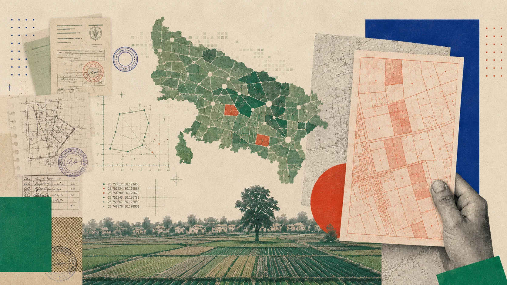
The result was a KML file containing boundaries for roughly 25 plots, which Claude Cowork uploaded directly to Google My Maps.
For the first time, Khan could see the full picture of his family’s land. All of it appeared as navigable polygons layered over satellite imagery. He could now stand in that village and know, with precision and legal certainty, which ground belonged to his family.
When he shared the project on LinkedIn, the post drew more than 2,000 reactions and hundreds of comments. Many people wanted to know whether the same approach could help them locate the ancestral land of their own.
He later published a step-by-step tutorial showing how much of the workflow could be replicated using Claude's standard chatbot interface, without the more expensive agentic system he had originally used.
The Person Behind the Window
For Khan, the exercise highlighted something larger than one family’s land holdings.
He grew up during what he describes as India’s ‘babu culture’, a world of counter after counter, form after form, with information effectively controlled by intermediaries who derived their authority from knowing things that ordinary citizens did not.
“The person behind the window isn’t a magician,” he says. “They simply have access to information that you don’t. As a result, they have power over you.”
He is quick to acknowledge how much has changed. The digitisation of processes such as passport applications, enabled in part by infrastructure like Aadhaar, has made government services considerably more accessible over the past decade.
Yet, land records remain stubbornly fragmented, varying from state to state and spread across portals that can be genuinely difficult for ordinary citizens to navigate without specialist knowledge.
Ironically, one detail surprised him. “All these records are super open,” he says. “I can go and pull any plot and figure out the long history of owners.”
The challenge, he came to realise, was never really about access. It was about making sense of information scattered across systems, formats and administrative layers, data that existed in public but might as well not have, given how difficult it was to piece together.
That, he argues, is the gap where AI agents have something real to offer. Their role is not to uncover hidden data, but to help ordinary citizens navigate information that already exists.
“Whenever there’s information asymmetry, incentives become misaligned,” he said. “That’s when you get touts, middlemen, and other inefficiencies entering the process.”
His land is now visible on a map. The harder work—ownership transfers, government filings, and the trips back to the village that the process will require—is still ahead. Khan has already begun navigating it.

Your reaction