
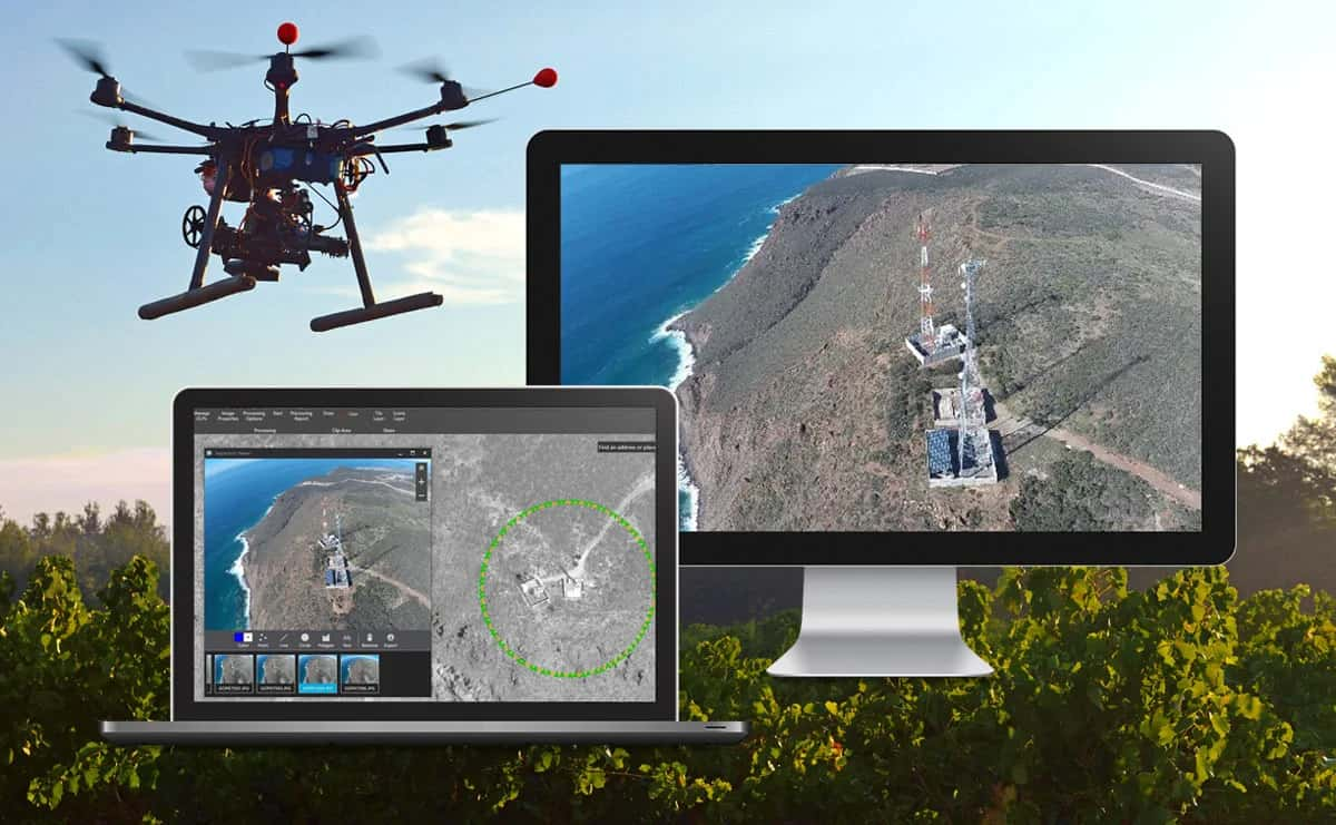
Esri India, the country's leading Geographic Information System (GIS) software & solutions provider, launched Site Scan for ArcGIS today, a comprehensive cloud-based drone mapping solution. Flight planning, data capture, data processing, analysis, data sharing, and drone fleet management are all included in the package. It is available as a 'Software as a Service' (SaaS) with limitless storage and processing power. Site Scan for ArcGIS is hosted in India on a cloud that has been approved by the Indian government, ensuring that drone data is saved and handled in accordance with government standards. It is capable of processing data acquired by the majority of drones manufactured in India or overseas.
The Ministry of Civil Aviation recently announced the New Drone Rules 2021, which simplified the procedures and lowered the number of compliances required to operate a drone in India. The Department of Science and Technology announced the New Geospatial Data Guidelines in February this year, which deregulated the collecting, processing, and storage of geospatial data.
These significant regulatory changes have made it easier to collect geospatial data using drones, which is critical for the successful implementation of government schemes such as SVAMITVA, the Smart City programme, the Bharatmala project, the Interlinking of Rivers, the National Mission for Clean Ganga, and other infrastructure development projects. The data acquired by drones can now be processed rapidly, cost-effectively, and with no human interaction, thanks to the automation and scalability of Site Scan for ArcGIS. This eliminates any processing disruptions. For its users, which range from drone service providers to critical infrastructure organisations, governments, and businesses, this will result in significant cost and time savings.
"Geospatial data generation by drones is likely to gain traction in the country according to the new Drone Rules 2021. A solution that makes drone flying, data collection, processing, and consumption easier is needed. Site Scan for ArcGIS, which is housed on a government-approved cloud in India, fits these standards and provides much-needed drone data processing manageability, dependability, scalability, and cost-efficiency. Site Scan will also benefit our partner community and a variety of drone service providers," says Agendra Kumar, Managing Director, Esri India.
Construction, engineering, utilities, natural resources, and government agencies will be able to easily gather high-resolution imagery for the regions of interest using Site Scan for ArcGIS, allowing them to inspect, visualise, evaluate, and make choices based on the most up-to-date information. The obtained 2D and 3D data can then be disseminated as secure services that can be accessed anywhere, at any time, on any device.
See the post for more information.
- OpenAI Signs Four Agreements With Abu Dhabi Across Government, Energy And Investment
- Deep-Tech and Green Finance to Drive India’s Climate Investments in 2027
- Google’s Project Suncatcher Satellite Generates First AI Response in Orbit
- DeepSeek Proposes Super-Agent Architecture to Automate AI Coding Workflows
- Arrowhead AI Launches Fletch Voice Model for Multilingual Customer Calls
- Amazon Warns Engineers Against AI Productivity Traps in Latest Memo