
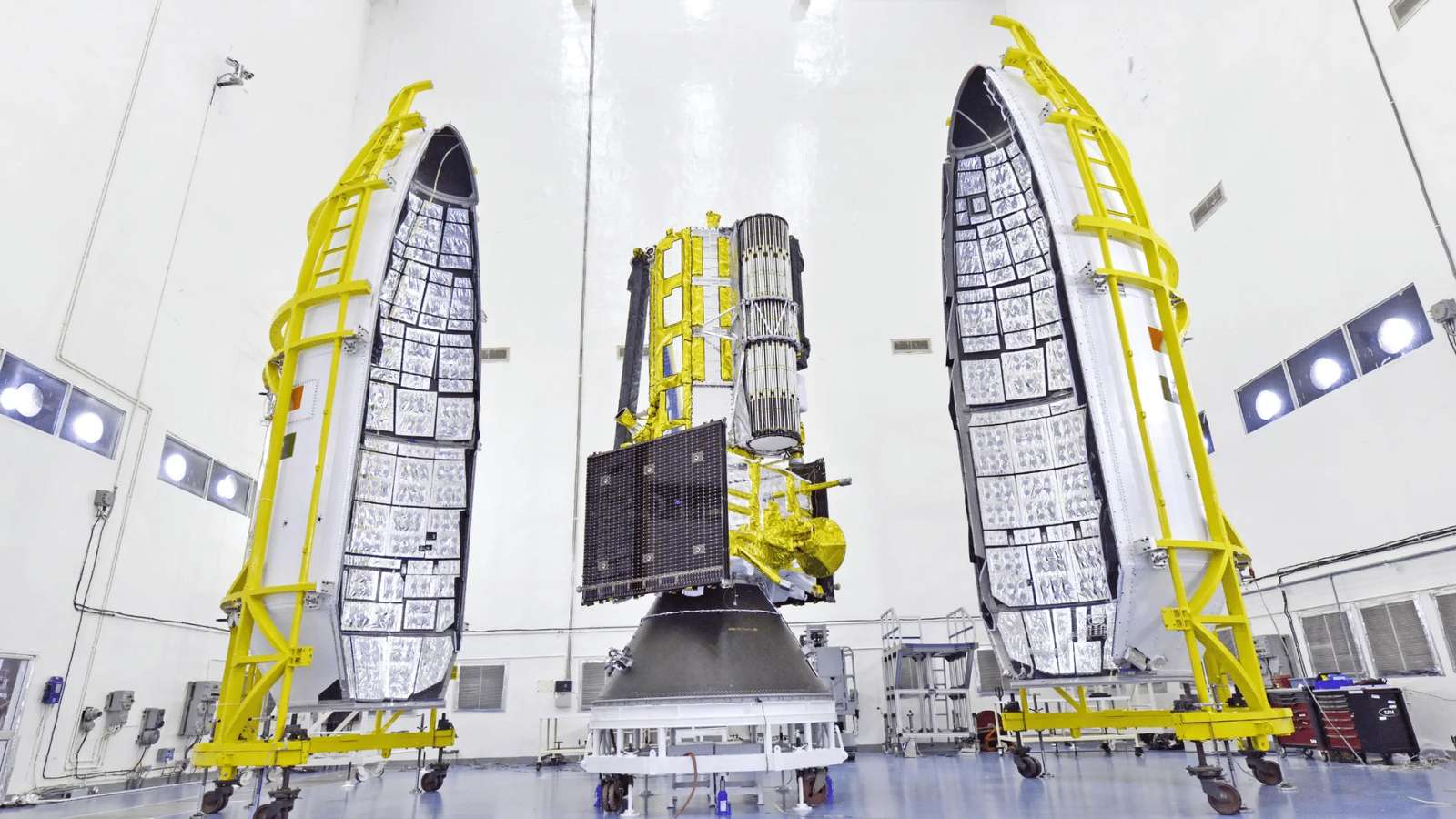
Indian Space Research Organisation (ISRO) announced that it will launch the NASA-ISRO Synthetic Aperture Radar (NISAR) satellite on July 30 at 17:40 IST from the Satish Dhawan Space Centre in Sriharikota.
The launch will be carried out using ISRO’s GSLV-F16 rocket, which will place the 2,392-kg satellite into a 743-km Sun-synchronous orbit. With an inclination of 98.4 degrees, the satellite will be able to support many critical applications.
NISAR is the first joint Earth observation satellite developed by ISRO and NASA. It will scan the globe every 12 days using dual-frequency Synthetic Aperture Radar (SAR) technology, mounted on a 12-metre unfurlable mesh reflector antenna.
The dual-frequency SAR technology refers to NASA’s L-band and ISRO’s S-band. The mission will generate high-resolution, all-weather, day-and-night data. The launch marks a milestone in over a decade of collaboration between ISRO and NASA’s Jet Propulsion Laboratory, as mentioned in ISRO’s blog post.
Minor Changes on Earth’s Surface
NISAR will enable the detection of subtle shifts on the Earth’s surface, including ground deformation, ice sheet movement, and vegetation dynamics. It will also support sea ice classification, ship detection, shoreline monitoring, storm tracking, changes in soil moisture, surface water mapping, and disaster response.
The mission uses SweepSAR technology and will observe the Earth with a 242 km swath, offering both global coverage and high spatial resolution.
The data from NISAR is expected to aid scientific research and disaster management, while also strengthening international cooperation in space science.
While scanning the entire globe, the satellite will also provide weather data, both day and night, which will be further utilised in various use cases.
- Coforge Revenue Rises 54% as AI Engineering and Deal Bookings Gain Momentum
- Tech Mahindra Partners With SpaceXSI to Bring AI Into Software Engineering
- Infosys AI Revenue Rises 29% in Q2, FY27 Growth Guidance Cut
- LTM Launches BlueVerse Industrial AI Lab in Chennai
- Chariot Launches Speech Recognition Model for 10 Indian Languages
- Meta Expects Up To $145 Billion In Capex As AI Investments Expand