
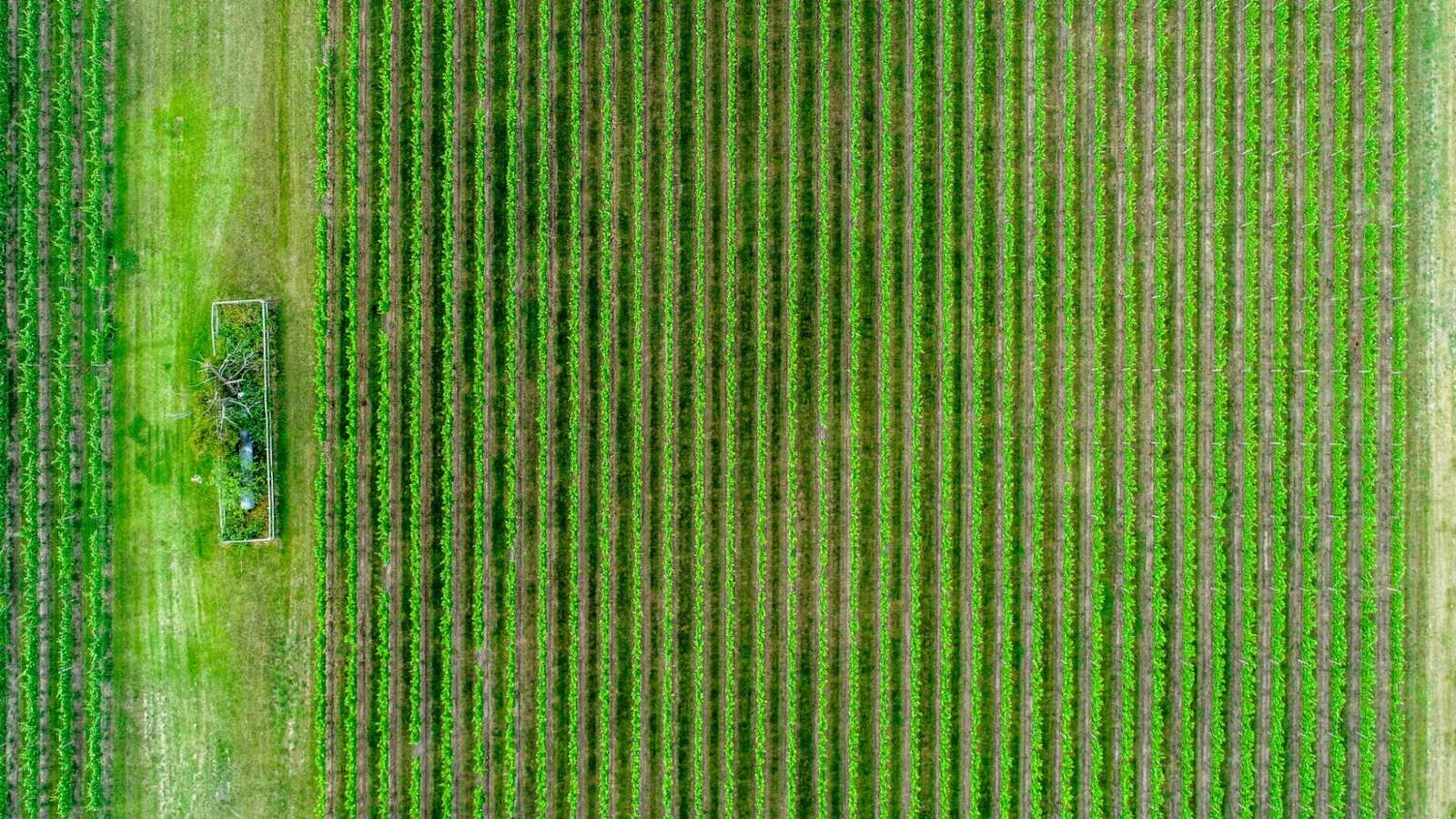
Google DeepMind is expanding the global footprint of agricultural AI models developed initially for India, with its Agricultural Landscape Understanding (ALU) and Agricultural Monitoring & Event Detection (AMED) models now providing agricultural insights across Kenya, Uganda, Ghana, Rwanda, Nigeria, and Zambia.
Developed by Google DeepMind’s AnthroKrishi team, the models were initially trained to understand India’s agricultural landscape before testing them across the Asia-Pacific region. Their outputs are now available through APIs and have also been integrated into Google Earth. Google said the ALU data layer is among the platform’s most popular layers globally.
The models are already being used by companies and governments in India. CarbonFarm has combined ALU with Gemini to automate field-level insights for rice cultivation, replacing paper-based reporting and helping farmers access carbon-credit and climate-finance programmes. Its platform is deployed across 12 countries and is expected to expand to 20.
Terrastack, meanwhile, has built a spatial intelligence platform using ALU and AMED that combines land records, satellite data, crop activity, climate signals, and market information covering more than 140 million hectares of Indian farmland. The platform supports land-record reconciliation, biofuel procurement, and farm-revenue estimates.
The models are also being integrated into agricultural digital public infrastructure. Telangana’s Agriculture Data Exchange (ADeX) uses ALU and AMED datasets to support services for more than 5 million farmers, including crop-stress detection and hyperlocal agricultural advisories.
Google DeepMind is also working with the Food and Agriculture Organisation (FAO) to integrate the datasets into CROPGRIDS through its geoAI4stats initiative. Backed by $2.5 million from Google.org, the project aims to improve crop mapping and agricultural statistics for climate resilience, crop insurance and sustainability monitoring.
In Karnataka, ALU and AMED are being combined with weather and remote-sensing data across 2.6 million hectares of irrigated land to support water and river-basin management.
- OpenAI's Codex Helps in Aerodynamic Engineering for Mazda
- Bengaluru Accounts for 34% of India's FDE Talent: Report
- 84% See AI Productivity Gains, but Only 10% Allow Agent Autonomy: TCS Study
- Snowflake Introduces Business Ontology, Cortex AI Gateway to Bring AI Agents Into Enterprise Workflows
- Three Members Behind Claude Code Leave Anthropic Within 10 Days
- Happiest Minds Q2 Revenue Rises 12.5%; AI Revenue Figure Remains Undisclosed