Skip to content
AIMAIM
NewsFeaturesGCCStartupsEnterprise AIDeep TechLists
LatestEvery storyLiveLive blogsMagazineMonthly print editionResearchReportsAI CompassWith NeysaEventsMLDS and moreNewslettersBelamy, Sector6VideosAIM TVInfographicsVisual storiesGlobal TechIT ServicesPeopleCompaniesGames

Events

CypherMLDSDESAIM GCC SummitMachineCon USACIO VisionAll events

Products and media

GCC ExplorerADaSciBest FirmAIM ResearchDeployedAIM Leaders Councilaim.media

Theme

Events

CypherIndia's largest AI conferenceMLDSGenAI summit for developersDESData Engineering SummitAIM GCC SummitMachineCon USACIO VisionAll events

Products and media

GCC ExplorerGCC intelligenceADaSciAssociation of Data ScientistsBest FirmWorkplace certificationAIM ResearchResearch and advisoryDeployedEnterprise AI, USAIM Leaders Councilaim.mediaAIM Media House
Subscribe
NewsFeaturesGCCStartupsEnterprise AIDeep TechListsLatestMagazineResearch

Tag · 10 stories

satellite imagery

Every AIM story tagged satellite imagery, newest first: reporting, analysis and interviews.

AI (Artificial Intelligence)Machine Learning
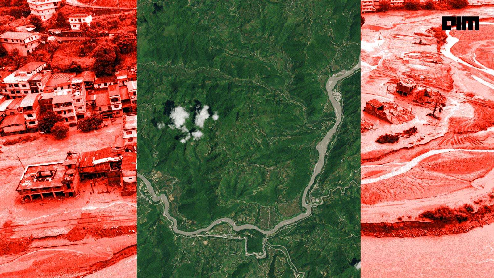
Can AI Prevent the Next Nepal Flood From Happening?
AI Features

Can AI Prevent the Next Nepal Flood From Happening?

Satellite imagery provided by players such as Planet Labs can help train AI models to recognise glacial movement and patterns.

Kileuna Haralu2 Sep 2026

Just in

  1. Satellites That ‘Think’ Could Change How India Responds to Disasters

    23 Sep 2025, 05:30 IST

  2. Space42, ICEYE Join Hands to Manufacture SAR Satellites in UAE

    12 Nov 2024, 05:30 IST

  3. KorrAI's Mission against Urban Subsidence

    30 Nov 2023, 05:30 IST

  4. ISRO's 'Bhoonidhi' Matches NASA's Space Standards

    25 Oct 2023, 05:30 IST

  5. SatSure raises $15 million as Chandrayaan 3’s Success Sparks Investor Interest

    29 Aug 2023, 05:30 IST

What is Image Registration and How does it Work?
AI Trends

What is Image Registration and How does it Work?

Sourabh Mehta5 Jul 2022

Using Satellite Imagery and GPS Data, AI Can Now Predict Accident Hotspots
AI Features

Using Satellite Imagery and GPS Data, AI Can Now Predict Accident Hotspots

Dr. Nivash Jeevanandam21 Oct 2021

Airbus Releases the World's Most Current Satellite Image DataSet, For Data Scientists To Work On
AI News

Airbus Releases the World's Most Current Satellite Image DataSet, For Data Scientists To Work On

Dr. Nivash Jeevanandam23 Sep 2021

How RMSI Cropalytics Leverages AI To Predict Crop Yield
AI Features

How RMSI Cropalytics Leverages AI To Predict Crop Yield

Shanthi S25 May 2021

AIMAIM

India’s newsroom for artificial intelligence, data science and the people building them.

App StoreGoogle Play

Sections

  • News
  • Features
  • GCC
  • Startups
  • Enterprise AI
  • Deep Tech
  • Global Tech
  • IT Services
  • People
  • All sections

Read

  • Latest
  • Newsletters
  • Magazine
  • Research
  • Lists
  • Live
  • AI Compass
  • Videos
  • Archive
  • RSS

AIM

  • About AIM
  • Authors
  • Editorial standards
  • Contact
  • Advertise
  • Subscribe
  • Reprints and permissions

AIM network

  • Cypher
  • MLDS
  • DES
  • GCC Explorer
  • ADaSci
  • Best Firm
  • AIM Research
  • Deployed
  • aim.media
© 2026 AIM Media HousePrivacyTermsRefundsCancellationsinfo@aimmediahouse.comBengaluru · Sunnyvale