Key takeaways
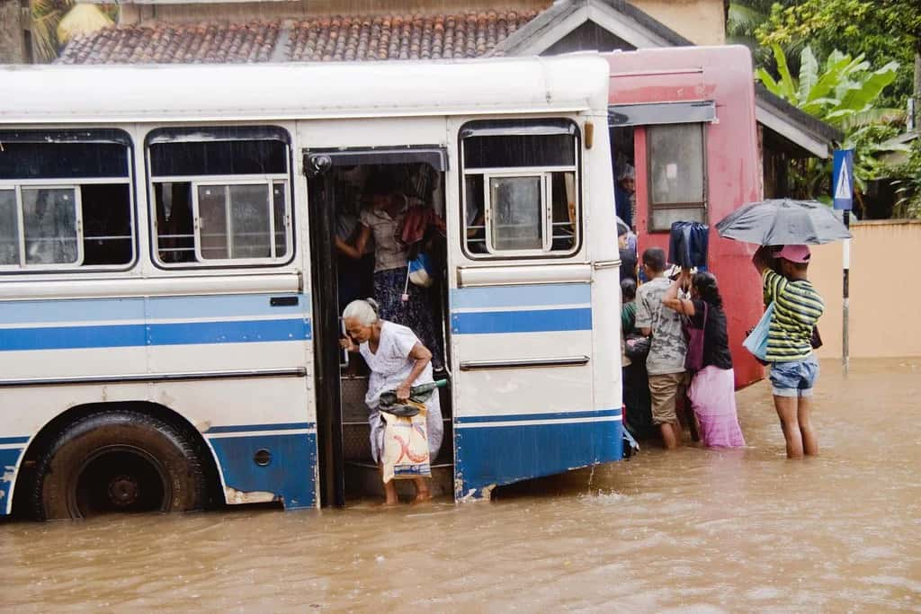
- Floods displace millions and cause significant loss of life annually, highlighting the need for better forecasting.
- The collaboration between Google and the Central Water Commission aims to enhance flood forecasting in India.
- Current forecasting methods, while helpful, often fall short in facilitating timely evacuations.
- Google's machine learning capabilities are being utilised to improve early flood warning systems.
- Kerala has faced severe flooding in consecutive years, underscoring the urgency for robust precautionary measures.
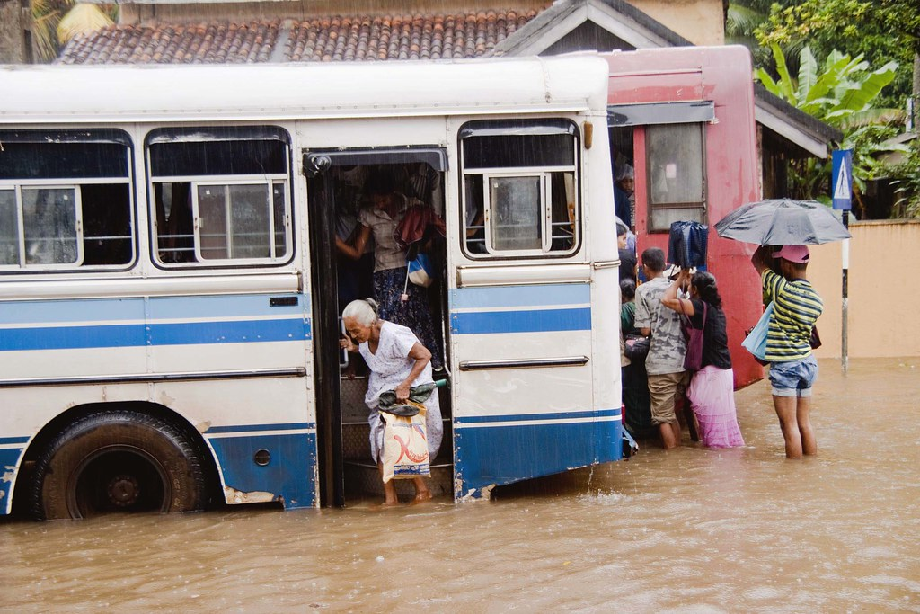 It is estimated that every year more than 200 million people either get displaced or lose their lives due to floods. Flood forecasting is a tricky job since a lot of factors such as rainfall, the topology of the location, soil strength, fluid dynamics come into play. Current forecasting techniques do help in timely evacuations. Usually, the warnings from the meteorological department lead to the deployment of disaster relief personnel in hazardous locations. However, this too isn’t enough.
In India, the state of Kerala alone has experienced two devastating floods in two consecutive years. The aftermath of any flood usually ends up with people either blaming global warming or the lawmakers. Though there is no one-stop solution, the best alternative is to resort to robust precautionary measures. In order to ring the alarm bells early enough, Central water commission of India has joined hands with Google to forecast floods.
Google has been implementing its machine learning prowess for various social good across the world.
How Does Google Do It?

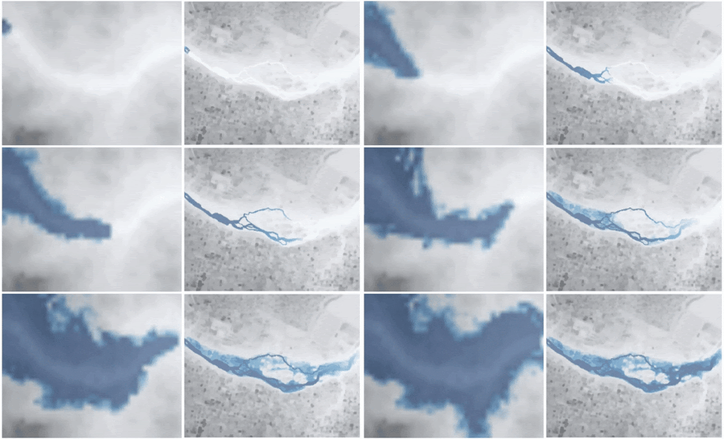
- The large and varied collection of satellite images used in Google Maps are used for correlating and aligning the images in a large batch.
- Then the corrected camera models are used to create a depth map for each image.
- Optimally fuse the depth maps are fused together at each location to make the elevation map.
- Train convolutional neural networks to identify where the terrain elevations need to be interpolated.