

On February 7, Defence Research and Development Organisation (DRDO)’s Young Scientist Laboratory program (DYSL) was tasked with creating a new class of unmanned aerial vehicle (UAV) capable of flying in areas of high altitude with a payload capacity of 50kg to carry out logistic operations in the Himalayan frontier–as announced in the AAV seminar 2022.
Young Scientist Laboratory program is an initiative formed with a group of five research establishments: All personnel including the scientists and the directors are below the age of 35. Located in Bengaluru, Chennai, Hyderabad, Kolkata, and Mumbai, the core focus areas of DYSL include artificial intelligence, cognitive technologies, asymmetric technologies, smart materials, and quantum technologies.
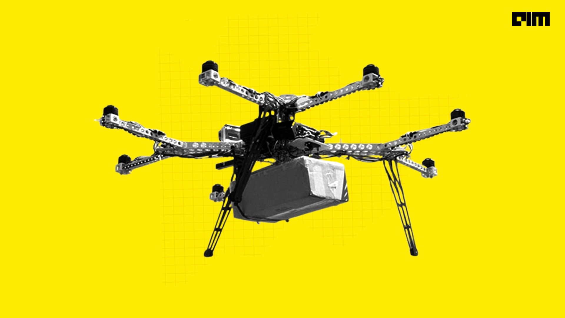
In a recent proposal seeking development partners, DYSL outlined the requirement for an octocopter with a carbon composite air-frame having a gross weight (inclusive of payload) of 80kg. The octocopter is required to airlift a payload of 50 kg at mean sea level and about 20kg at extremely high altitudes of 15,000 feet. The drone should be able to operate in cold temperatures up to negative 20 degrees Celsius.
Challenges
Operating a drone in a harsh environment is an uphill task. The lower air density in high altitude areas makes it difficult to control a drone. Freezing temperatures tend to drain the batteries so the drone has a shorter flight time. A research paper by Irina K Romanova on drones used in mountain ranges reveals the two biggest challenges faced while flying a drone in mountain ranges:
- Communication is tricky in the mountain ranges as satellite networks, broadband, radio, etc. are limited due to the remoteness of the location and lack of proper infrastructure. Due to extreme weather conditions, one may experience a lot of delays, limited bandwidth and many such difficulties. Sub-zero temperatures and the accumulation of snow makes the maintenance and development of broadband technologies quite difficult.
- Collision avoidance is one of the most difficult challenges when dealing with drones in mountain ranges. It is usually based on two components; collision detection using sensors/algorithms and a protocol to determine what participating agents should do to prevent such collisions. Therefore, it is important to understand the features of the network that the UAV is compatible with.
Recent advancements
DYSL (CT) lab was set up for providing cutting edge technology to DRDO in the cognitive field. The lab works in the area of design and development of Cognitive Radio and Cognitive Radar Systems, realising through deep neural networks and reinforcement learning algorithms.
Below, we list the significant tech developments from India over the past decade:
- Mission Sensor Technology: As part of the UAV program, the Aeronautical Development Establishment (ADE) two-axes two-gimbal stabilised payload assemblies for medium altitude air vehicles. This enables the drones to carry multi-mode payloads with medium-range target acquisition and day-night tracking.
- GAGAN(GPS and Geo-augmented navigation system): India’s initiative to establish a regional satellite-based augmentation system (SBAS).

Source: icao.int
The system improves the accuracy of global navigation satellite system (GNSS) receivers by sending reference signals. The end goal is to develop a navigation system that can be utilised for all stages of flight over Indian airspace and the surrounding areas.
- NETRA: This is an indigenous airborne early warning and control system. The joint venture by DRDO and Indian Air Force showcases its unique Active Antenna Array Unit (AAAU) and secondary surveillance radar capabilities.

Source: DRDO
Latest drones by India
- DRDO Rostom II: It is a medium altitude long endurance UAV built for the Indian armed forces(Army, Navy and Air Force). Inspired by NAL’s LRCA(Light Canard Research Aircraft), this drone was developed under the leadership of Dr Rostom Damania.

Source: twitter
- DRDO Imperial Eagle – It is a lightweight mini-UAV developed by the Aeronautical Development Establishment of NAL. It is primarily used by National Security Guard and military services. The drone can be tracked using Automatic Gain Control or GPS systems.
- DRDO Ghatak- It is a stealth type unmanned combat aerial vehicle (UCAV) developed by DRDO in a program called AURA( Autonomous Unmanned Research Aircraft). Although the program is still in its project definition stage, the full-scale prototype is expected by 2025.