|
Listen to this story
|
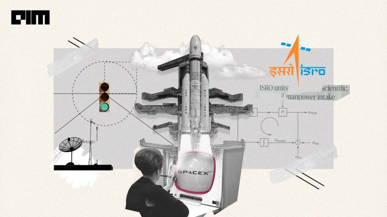
Earth Observation (EO) datasets have emerged as invaluable tools for understanding and monitoring our planet’s dynamic processes. Radha Krishna Kavuluru Scientist – ‘SD’ ( Project Manager: NISAR ) at ISRO, at Cypher 2023, India’s biggest AI conference, delves into the Earth Observation Datasets created by ISRO.
Addressing a packed audience mostly from the AI community, Kavuluru said, “Your data is different from our data and probably some of you may already use drone data or satellite imagery.”
Use case of EO datasets.
The first use case of EO datasets, according to Kavuluru, is around climate change which is critical in today’s age. Another critical application of satellite data in agriculture is the monitoring of vegetation health. By analysing near-infrared and other spectral data, remote sensing can provide valuable information about the vigour and overall health of crops.
Besides, the datasets are also used for disaster management. Earth observation data, particularly from weather and climate satellites, are essential for early warning systems. They help in monitoring the development of natural disasters like hurricanes, typhoons, cyclones, floods, and droughts.
This early detection allows authorities to issue timely alerts and take preventive measures to protect lives and property. Moreover, these datasets are also being used by the government for defence, Kavuluru said.
Bhoonidhi is an initiative by ISRO that aims to provide open access to EO satellite data. It is an online platform that enables users to access and download remote sensing data from various satellites, including Indian and foreign sensors.
“What happens is the data that is collected by ISRO’s ground stations comes into this portal in real-time. There is some analytics built into it.”
However, given there are thousands of datasets and each image could be of the size of 203 gigabytes. Downloading and making sense of the datasets is a challenge, Kavuluru said, “For this companies often talk to cloud service providers or build their own infrastructure.”
Codelab
To tackle this very problem, ISRO is coming up with something called Codelab, which is going to be launched early next year.
“This is almost synonymous with Google Colab, but the additional benefit is the Bhoonidhi portal will be integrated into this and you can leverage the infrastructure of ISRO directly on your browser.”
One advantage it offers is the ability to scale computing and storage horizontally, eliminating the need to download the data.
Kavuluru further adds that the IO datasets have multiple commercial uses and can be leveraged by organisations for their benefits. Satellite data is already reshaping numerous sectors by providing valuable insights and optimising various processes.
“This technology has not only improved efficiency but also empowered businesses and governments to make data-driven decisions with far-reaching implications.”