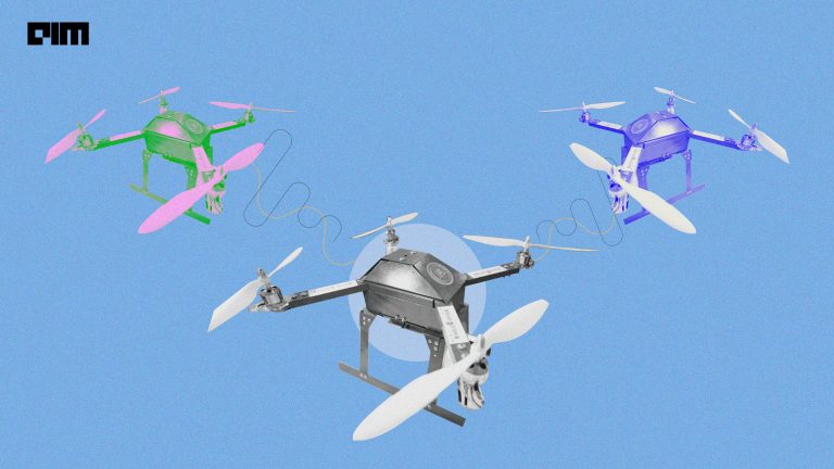


When Chinese Premier visited Mamallapuram last Friday his visit was made secure by special India-made drones. Xi Jinping arrived in Chennai for a 24-hour visit for an informal summit with Prime Minister Narendra Modi. The way from Chennai airport to the temple town of Mamallapuram was reportedly surveyed and studied by aerial drone photography even before Premier Jinping made a visit. The route was of more than 50 km and the technology was developed by a team at Anna University.
An official who was working in the security arrangement of Premier Jinping told a noted newspaper, “These fixed-wing drones can map with a special resolution of 3cm, compared to Google Street view map that has a spatial resolution of 60 cm… This means anything that is of 3cm could be captured as an image, which includes things inside a parked car on the route.”
Before Jinping arrived, over the last 10 days the drones captured more than 30,000 high-resolution images which were about 14 megapixels each from a height of 100 m. A digital map was created using and stitching all these images and was converted into 3D visuals which could be reached through a mobile app.
“This helped police in identifying vulnerable points and decide on personnel deployment”, said K Senthil Kumar, researchers from Madras Institute of Technology, Anna University.
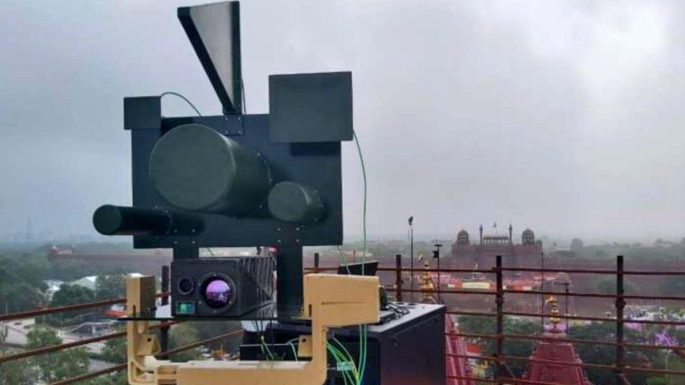
The mission was helped by six more copter drones that provided a live view to the Tamil Nadu Special Task Force. Anna University researchers were also kept in the dark about the use of this technology and the commandos were trained accordingly.
This is not the first time that drones are being used so productively in real-life situations. IIT Madras students had announced earlier this month that they were developing the ‘Eye in the Sky’ Disaster Management and Humanitarian Aid Services. A team from Centre For Innovation (CFI), IIT Madras, is building drones enabled with AI and Computer Vision to develop an end-to-end solution for identifying accurate and critical information on people trapped in disaster-hit areas and communicate them to the relief task force.

![[Exclusive] Meet the AI Advisor of Prime Minister Narendra Modi](https://analyticsindiamag.com/wp-content/uploads/2024/01/Amit-Sheth-on-Making-India-the-AI-Hub-of-the-World--768x432.jpg.webp)