|
Listen to this story
|
The world is sinking, and some prominent cities in the world are facing the threat of extinction. India has witnessed land subsidence in Joshimath and other Himalayan regions. The threat of subsidence, or sinking of the ground because of underground material movement, has also been affecting cities like Jakarta and Venice, amongst others.
A study recently identified 200 urban locations in 34 countries that experienced land subsidence in the past century. Calculations suggest that nearly 2.2 million square kilometres of land, which is nearly 8% of the global land surface, is exposed to a high- to very-high probability for potential land subsidence, involving 1.2 billion urban inhabitants and threatening nearly $8.2 trillion in GDP.
At this crucial stage, scientists have come together and are applying various methods like artificial recharge and deep soil mixing to control the situation. Moreover, satellites and imagery extracted from them could be effectively used to study the regions’ ground motion and geological build and preemptively anticipate and act on potential land subsidence (PLS).
KorrAI, an Indian-Canadian geospatial tech company, has been directly involved in providing the solution. It employs satellite imagery and machine learning to address the challenges arising from ground motion— identifying and mitigating risks associated with subsidence, landslides, and settlement phenomena.
The Y Combinator-funded company has clientele spanning urban planners for mine sites, airports, and construction projects, property insurers, and private and public infrastructure entities that construct highways, railways, subways, and utility lines.

The services provided by the company become increasingly prevalent as an estimated one-fifth of the world’s population is said to be affected by land subsidence by 2040, intricately linked to flooding and rising sea levels.
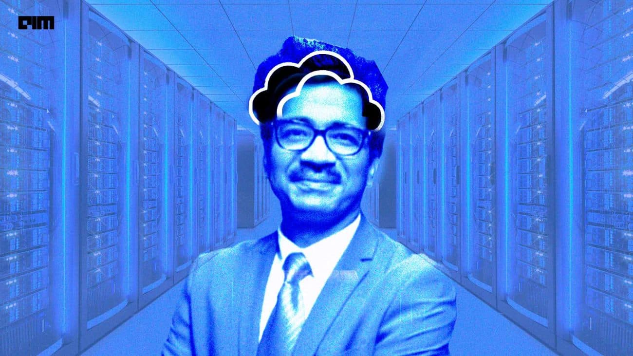
With a mission to harness technology to ensure safer, sustainable urban futures, KorrAI’s CEO Rahul Anand, in an exclusive interview with AIM, defined their goal, vision, and challenges. “In the US alone, land sinking causes an annual economic damage of approximately $4 billion,” Anand stated, drawing a concerning parallel to escalating wildfire damages, which have spiked to nearly $230 billion annually.
Anand co-founded KorrAI in 2020 along with Rob McEwan, a data scientist skilled in remote sensing with satellites. However, there’s an exciting story to KorrAI’s focus shifting towards this aspect from being a project funded by the Canadian Space Agency to constructing cloud-based data processing pipelines for the RadarSat constellation mission, specifically in SAR technology.
Back in 2020, Anand’s computer science and engineering background led him to stumble upon an intriguing computer vision problem. “A mining company manually searching for mineral deposits like gold, sparked my curiosity. I created a model to identify patterns, aiding them in locating these deposits in the wild.”
This chance encounter gave birth to myriad opportunities, steering Anand into uncharted territories. “It was a colossal market waiting to be tapped, especially with the escalating capabilities of satellite imagery this decade.”
UrbanSAR and GlobalSAR
Anand detailed the company’s proprietary data pipelines: “In the past two years, we’ve honed our focus on ground motion monitoring, culminating in the development of two pivotal algorithms, UrbanSAR and GlobalSAR.”
He added that UrbanSAR is meticulously crafted for urban environments, while GlobalSAR is adept at handling diverse settings, spanning both urban and non-urban areas. Anand also detailed that their preferred use of radar satellites stems from the uninterrupted data flow, which empowers them to analyse and interpret ground movements over time with remarkable precision.
Radar satellites, equipped with Synthetic Aperture Radar (SAR) excel in detecting minuscule changes on Earth’s surface, reaching down to the millimetre level. Unlike optical satellites reliant on light, SAR systems can penetrate through cloud cover, ensuring data collection irrespective of weather conditions or time of day.
Anand highlighted the technological prowess embedded in their infrastructure and detailed an essential aspect of their pipeline. “Our system integrates a crucial calibration mechanism using a global network of GNSS stations,” he added, explaining that the calibration process serves as a cornerstone, correcting the atmospheric noise and ensuring enhanced data accuracy.
Crucially, Anand underscored the backbone of their cutting-edge framework—an adaptive, scalable compute environment. “Our entire data processing framework operates within a highly adaptable compute infrastructure.” It adjusts seamlessly based on demand, empowering us to offer insights with unparalleled flexibility and competitive rates in the market.
Looking to Launch Their Own Satellites
KorrAI employs multispectral and hyperspectral imagery from various space agencies and companies in their operations. “However, we have encountered limitations with this model, particularly due to the competitive nature of satellite tasking by governments and the cost structures set by private operators, which restrict our ability to develop new use cases,” he said.
“In light of these challenges, our strategy is to find a balance. We aim to leverage the broad array of existing data while also launching our own satellites to enable tailored data collection for our unique requirements, particularly for scenarios demanding extremely high spatial resolution.”
However, to encounter problems arising from hosting a vast amount of data and to streamline the process, the company has inked a partnership with AWS. ”These datasets can be enormous, reaching petabytes, so one of our key strategies for optimising processing time is to organise the raw data into an efficient structure. We’re collaborating with the AWS open data program to host the European Space Agency’s Sentinel 1 data coverage in North America,” said Anand, adding that they plan on expanding this initiative to India as well.
Y Combinator’s Influence
Being a Y Combinator (YC) company has also had a profound impact on the business. The company has clientele from its partnership with YC and is looking to scale its operations globally which is already spread across regions like Hong Kong, the Maldives, the US, Canada, and Australia, tailored to regional needs.
“Through Y Combinator, we’ve connected with diverse companies venturing into satellite launches,” he highlighted. “This partnership potential has been instrumental. Collaborating with satellite companies to develop custom payloads allows us to target high-value monitoring in the near future.”
Speaking of the holistic impact of YC beyond immediate business gains, Anand praised its ecosystem-building prowess. “YC’s contribution transcends mere business dealings,” he reflected. “It’s about investments, networking, and accessing a wealth of entrepreneurial expertise. It’s among the finest accelerators, fostering a community where founders can contribute and glean insights from thousands of experienced peers.”