

|
Listen to this story
|
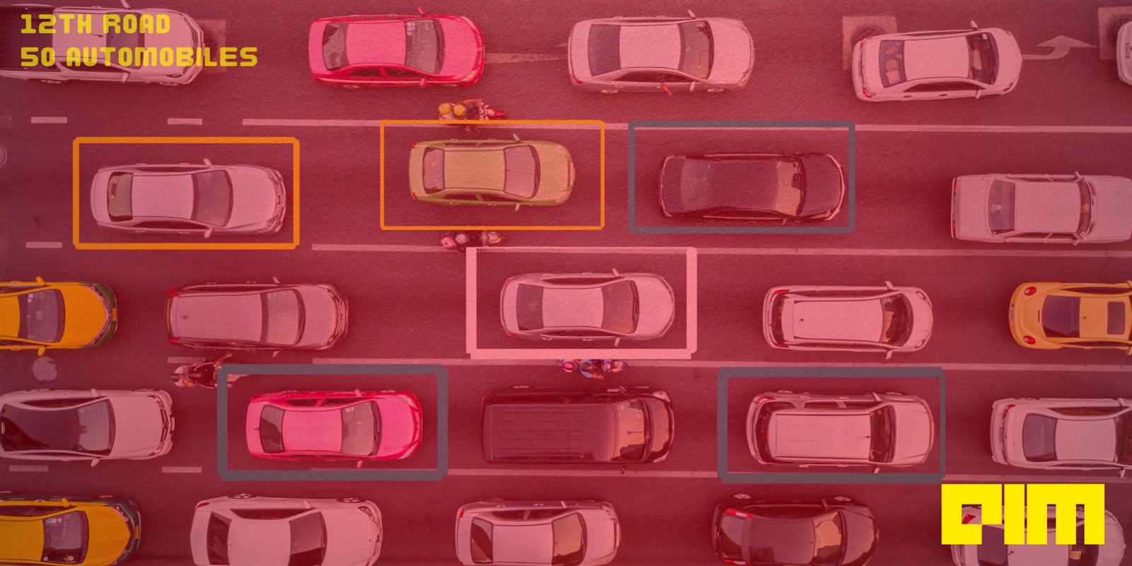
Bengaluru is synonymous with bad traffic. To solve the problem of congestion in the city, Bangalore traffic police have partnered with Google for a pilot project. The duo would be working closely to optimise traffic signal configuration to improve the city’s traffic system.
Since the pilot project kickstarted in Bengaluru, traffic has already been reduced by 20 per cent wait time for commuters on the road. This makes one wonder why a similar high-tech solution wasn’t proposed sooner.
For the project, Google has also joined hands with local partners like Tech Mahindra and Genesys International from Mumbai to collect, own and provide data for the 360-degree panoramic view feature. They also have to collect it at a certain level of fidelity, depending on the type of camera. These local partners even provide the required camera configurations.
The local police would use Google’s AI to improve commuters’ infamous traffic mess. Under this facility, the speed limit for a road would be displayed in the Google Maps navigation mode on the bottom left side of the phone screen.
According to the authorities, Bengaluru has 14,000 km of main roads and 44,000 junctions. There are around 1,000 important junctions, out of which 398 are signalised while the rest are overseen by the police.
B.R. Ravikanthe Gowda, Joint Commissioner of Police (Traffic), said that implementing this project is likely to reduce congestion, wait time, fuel consumption, road rage, and greenhouse gas emissions. He added that if this is extended to other intersections across the city, nearly one crore vehicles are expected to benefit.
The pilot project also includes live updates on road closures, traffic incidents, and other data. Gowda explained this would ensure that commuters get real-time updates and use alternative routes through Google maps. The department is already using tech to digitise traffic challans, contactless enforcement and synchronising signals.
According to authorities, Bengaluru has 14,000 km of main roads and 44,000 junctions. There are around 1,000 important junctions, out of which 398 are signalised while the rest are overseen by the police.
Why now?
This development comes after Google had recently launched its Street View services in ten cities—nearly a decade after it was barred from capturing data in the country.
For the initial phase of the Google Street View, the feature is set to be introduced across ten cities and is expected to roll out in 50 more cities by the end of 2022. Called ‘Project Gullify’, Street View will map over 700,000 kilometres in two years.
Supported by the recently proposed National Geospatial Policy 2021, collecting this kind of data and licensing it to others is not out of bounds anymore, and Street View is now being launched.
What about the privacy and security concerns?
Over the years, many privacy and other issues have been raised regarding Street View. People’s faces and other identifiable data, like car number plates and house numbers, being captured by the camera and misused in different ways has always been the focal point of such debates. In addition, security concerns about the easy availability of this kind of view, especially for sensitive locations, were also raised.
In 2011, Google’s attempt to enter India hit a roadblock after the Bengaluru Police stopped vehicles capturing images for Street View. As a result, Google did not proceed with the product in India then. However, local companies like Wonobo and MapMyIndia saw this as an opportunity and developed their own versions of immersive visual maps of some Indian cities.
No access to restricted areas
As of now, Street View is not allowed into restricted areas like government properties, military areas and defence establishments. Places like Delhi and other cantonment areas would therefore not be made accessible to the public on the platform.
Besides India, Google has had issues with the local authorities of other countries like Austria, Australia and Germany, though it has since activated its projects in these places.
Google is also making the Street View API available to local developers enabling them to deliver richer mapping experiences within their apps and services.
Interestingly, shortly after Google’s announcement, homegrown MapMyIndia unveiled a product called ‘Real View Maps’, which provides a 360-degree panoramic street view and includes a 3D Metaverse Maps Service.