|
Listen to this story
|
A few months ago, the Ministry of Road Transport and Highways issued a notification regarding the amendment of the National Highways Fee Rules, 2008. The notification explains the meaning of ‘closed user fee collection system’, under which the toll is decided based on the distance travelled by the vehicle.

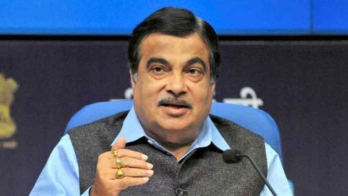
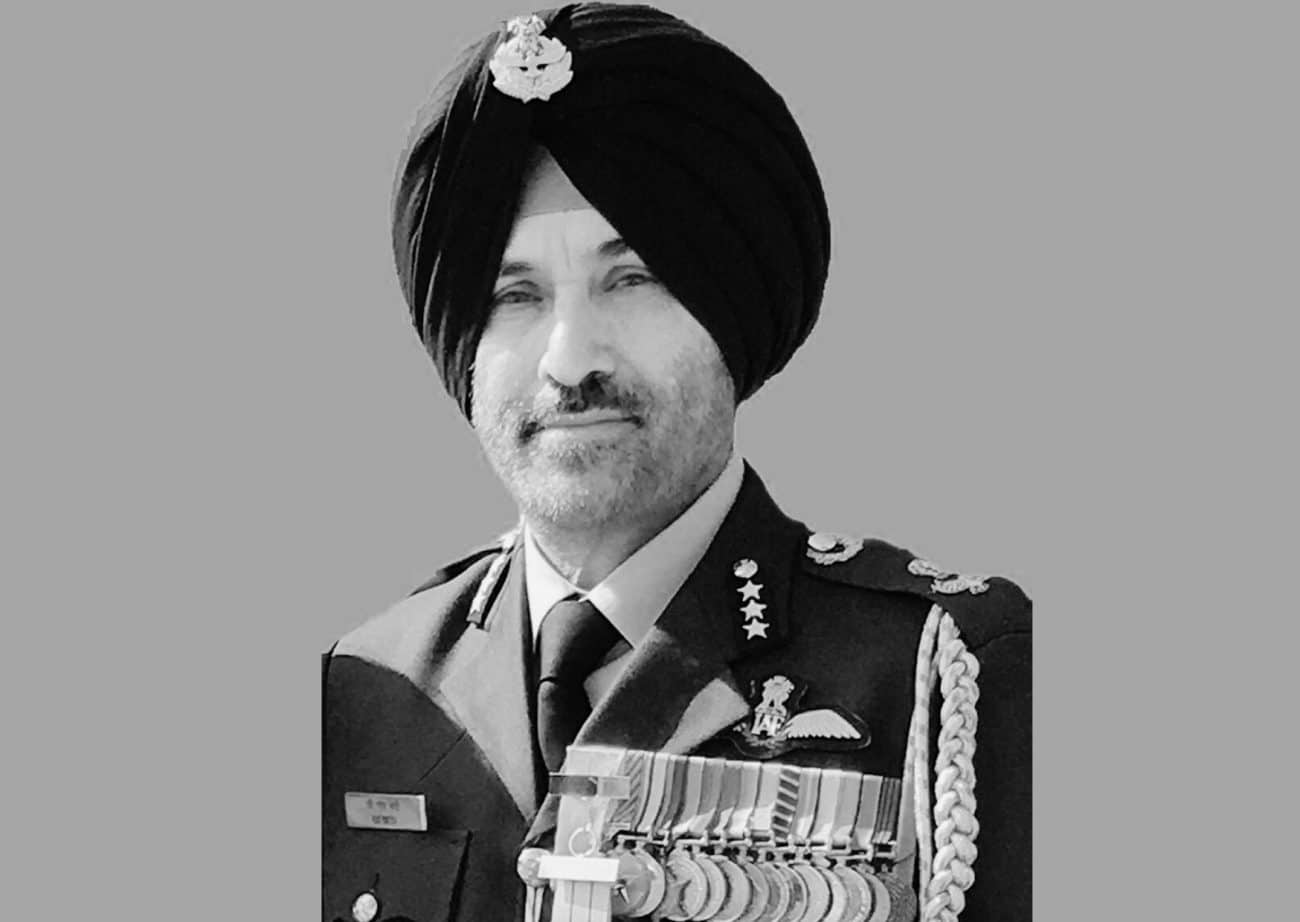
Two months later, in August, Nitin Gadkari, Minister of Road Transport and Highways of India, informed the Parliament, “We are in the process of introducing GNSS (Global Navigation Satellite System) instead of FASTag while using satellite, on the basis of which we want to collect the toll. We have the required technology available in India.”
At that time, Gadkari had claimed that the system would be implemented within six months. He said, “I will try my best to do it as this is the need of the hour. This is important for the people of the country and to rid us of the problem of traffic.”
The Union minister revealed last month that the government is running a pilot project of an automatic number plate recognition system to enable automated toll collection without stopping the vehicles. He made this statement while speaking at an event hosted by the Indo-American Chamber of Commerce.
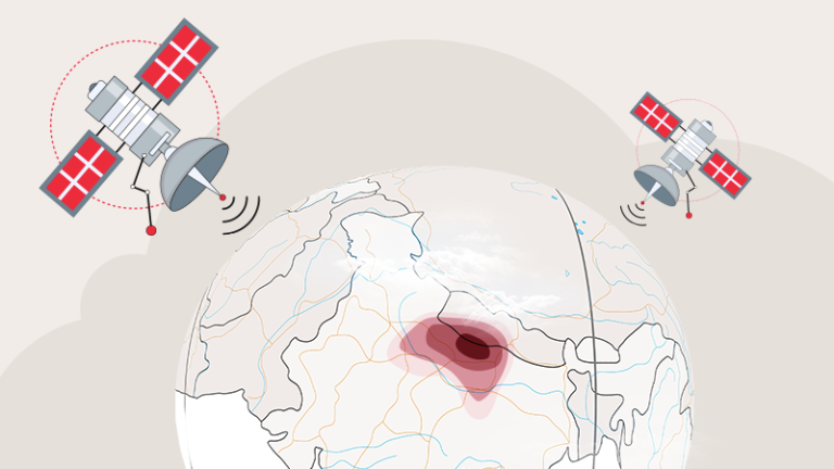
GNSS-based toll system
According to the government, the proposed GNSS-based toll collection system would geofence the national highways and introduce virtual toll booths. When a vehicle equipped with such a device will pass through the virtual toll booth, the vehicle’s mileage would be calculated based on satellite signals from multi-constellations such as NaVIC and GPS, and then the central GNSS software system will compute the relevant fee and debit it from the users’ bank account linked to the device attached to the vehicle.
This form of GNSS-based toll system has been adopted in numerous countries like Sweden’s congestion tax, Austria’s truck toll, Germany’s TollCollect, Slovakia’s toll system, and France’s eco-tax. In addition, each European GNSS-based tolling system has recorded a compliance (payment) rate of more than 98% or 99%.

While the system is said to be one of the most-successful to date, it is unclear if it would benefit the citizens. For example, in the current system, once a motorist pays a toll, he can drive any number of times on the entire stretch. However, with the implementation of a GNSS-based toll system, fees will be levied on a per-kilometre basis. It’s still unclear how the government plans to charge motorists under this system.
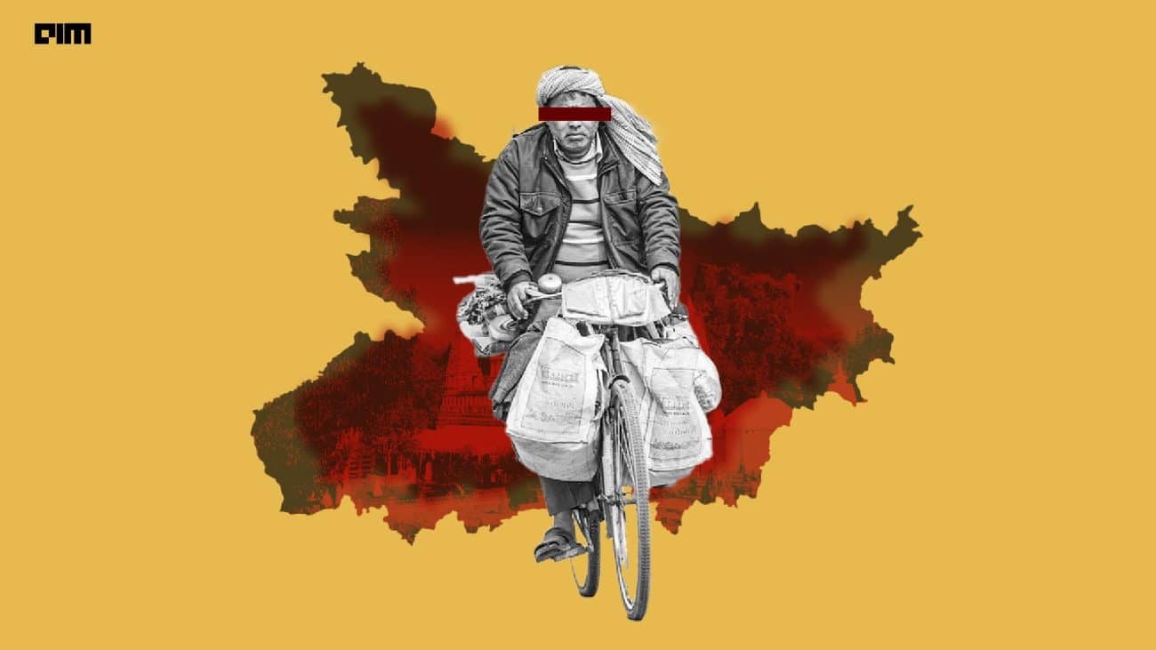
Indians have only recently adapted to FASTag, which was pretty successful as by 2021-22, FASTag penetration had increased from 16% in 2017–18 to 96.3%. If we talk about profitability, from ₹3,532 crore received via FASTag out of total tolls in 2017-18, i.e, 21,948 crore, FASTag collection rose dramatically to ₹33,274 crore in 2021-22 with total collection being ₹34,535 crore. (source)

Since FASTag is working effectively and drivers are pretty used to it by now, many believe it will be a difficult task to force drivers to put an additional device (On-Board Unit) on their vehicles. That said, if properly implemented, a GNSS-based toll system will help in speedier toll collection while also increasing NHAI earnings. It should be emphasised that FASTag alone decreased the waiting time from eight minutes to 47 seconds, implying that a GNSS-based toll system might eliminate the waiting period entirely, making the route speedier.
Automatic pot-hole detection system
While we are in the process of adding an additional device on the vehicles, why not make it much more useful? In India, on an average, more than 5,000 people die every three years, due to accidents caused by potholes.

The on-board unit device in the vehicles may also aid the government in implementing systems like pot-hole detection. As per some experts, taking advantage of the mobility of vehicles equipped with the system, data can be collected simultaneously from vibration and GPS (or NAVIC) sensors, processed and filtered to monitor road quality.
Recently, researchers were able to test this on Noida’s roadways. They recognised and categorised potholes and other road irregularities with an accelerometer data using a machine learning method. They developed an algorithm that effectively recognised potholes with a 95.7% success rate based on continuous testing and data collection on a specific stretch of road.